To the top of the World…

Bourg-Saint-Pierre

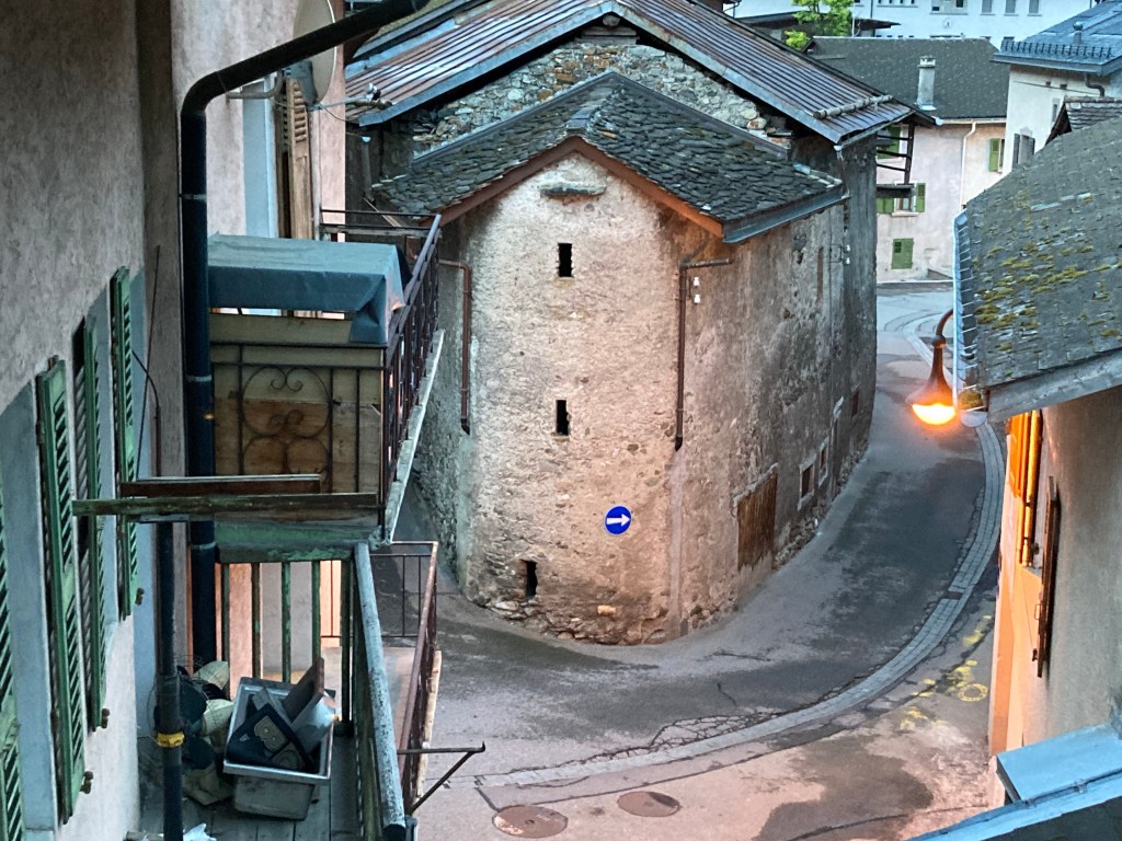
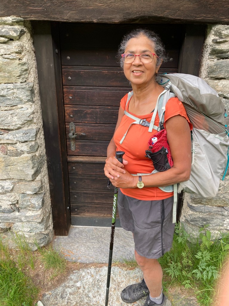
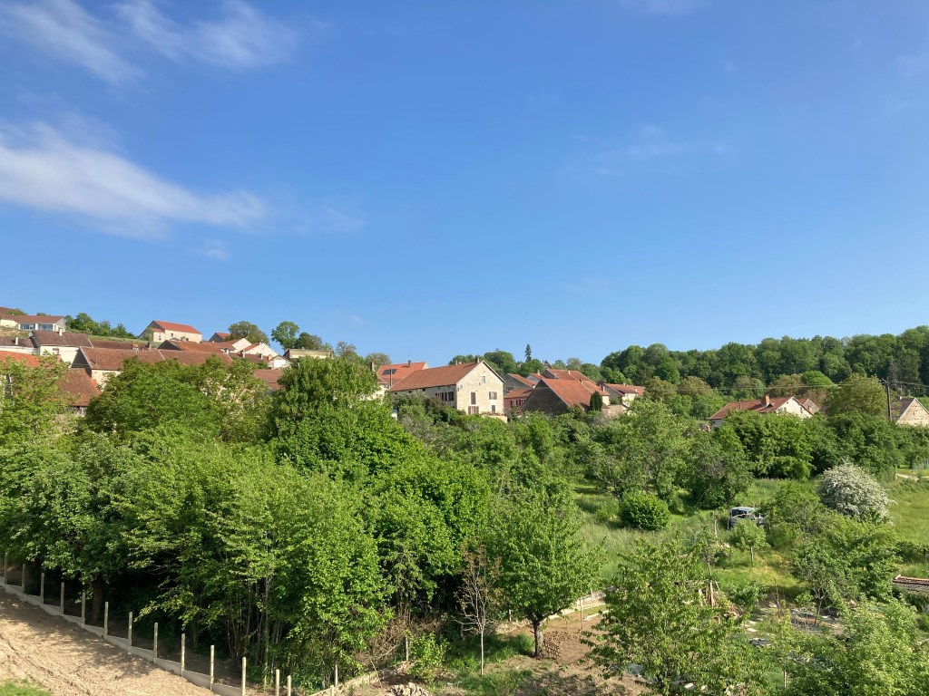
The pretty little mountain village, Bourg-St-Pierre is perfect spot for a night’s rest. From here it is just 11.5 kms to the Col du St Bernard, the pass between the two highest mountains of the Alps, Mont Blanc and Monte Rosa. St. Bernard is our final destination on the Via Francigena.

The Alps as you walk towards the Pass

St. Bernard’s Pass is steeped in history and symbolism. All roads might lead to and from Rome. But across the mountain range, paths are few and far between. Some experts say that this pass has been used by people since the Bronze Age, well before the city of Rome was founded, and several millenia before the birth of Christianity.

If, like me, you had been wondering all along the VF whether you were really following Sigeric’s path to Rome, here at a narrow pass at nearly 2,500 metres above sea level, you can be pretty sure that your footfall couldn’t be too far from where Sigeric walked (or perhaps rode a donkey?) 11 centuries ago.

21 June 2023 – dawn had barely broken when we set off for our final day on the Via Francigena. Other than a brief descent to cross the River Dranse, the road sweeps inexorably upwards. I feel as if the thousand kilometres walked in the last two months were just the preparation for this climb, to that mountain pass just ahead: there to marvel at the grandeur of the snow-capped hills, to reach the sanctuary that Bernard of Menthon built circa 1049 as a respite for tired and hungry walkers.

Climbing past pine trees

On paper, the walk to the Pass is not much steeper than the 1000 metres we climbed the previous day to get to Bourg-Saint-Pierre, though our VF app rates today’s walk as ‘challenging’ while yesterday’s was merely ‘moderately’ difficult. And just 5 days ago, a walker reported icy slopes in the final stretch to the top.

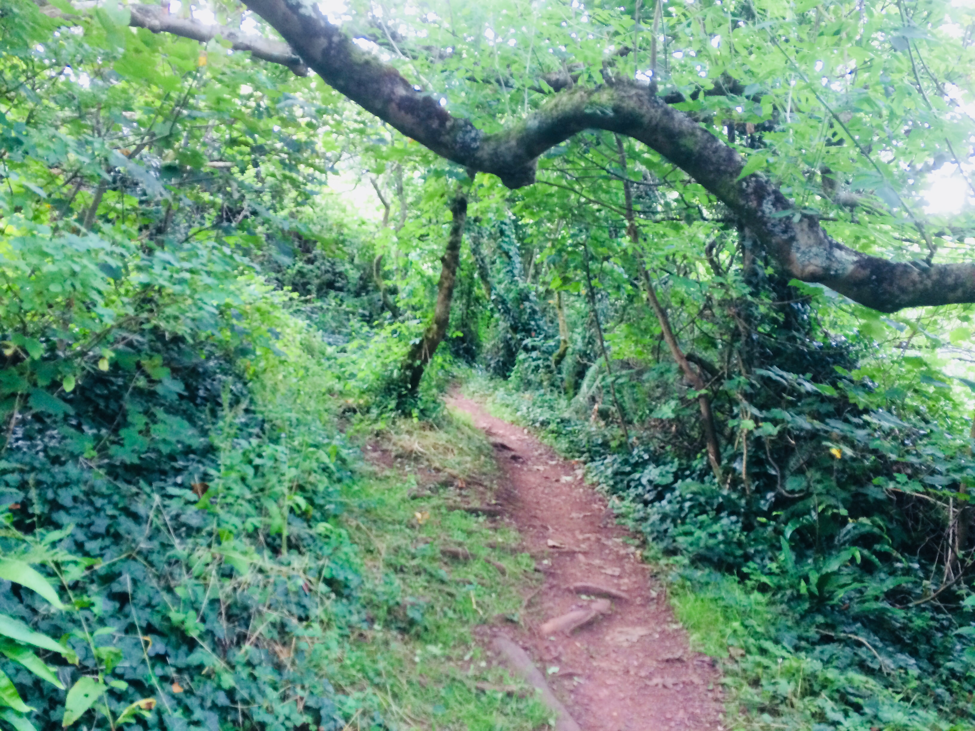
But I am bursting with so much anticipation that I hardly feel the ascent as we climb past the pine trees, and beyond the Alpine timberline.

Frolicking Bulls

Then: Difficulty strikes… in the shape of three young bulls. Yes, no bull! I mean yes, definitely bulls. They are standing right on the path, indeed right in front of the stone marked with the Swiss yellow track sign. And there are hundreds of other similar looking creatures as far as the eye can see!

As I am trying to recall what the brave Pandava heroes of the Indian epic did while facing various impediments on their post-retirement final walk up into the heavenly mountains (too long a story to tell, but you can read it here if you are really keen), I notice my courageous companion is silently slinking away.

Hobbit house

To cut a long story short, after discounting many absurd options proposed by you-know-who, I walk back to the tiny cottage we had passed just a few minutes back and knock.

Not Frodo the Hobbit, but Michael the Angel answers the door in the guise of a Swiss German having his morning cuppa. Patiently, he explains that those creatures in the paddock are completely harmless to humans as they are either cows or ‘young bulls, just playing.’

Half hour later, having repeated his assurances in many languages and tones and realising that we are settling in for the night unless he walks us off his property, he sighs, pulls on his boots and proceeds to escort us through the slough of the bovine mire. For the record, even Michael has to pick up a log at one point to discourage the young bulls from getting too playful.

Archangel Michael saves the day – so what’s new?

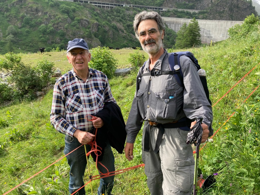
Apparently the herds of cattle spend a week each year on these lower hills, before setting off for higher pastures. Michael is a font of local knowledge but has a devilish gleam as he bids us ‘bon courage’ (because we clearly need some) adding ‘I have never seen pilgrims frightened by cows.’

Lac des Toules

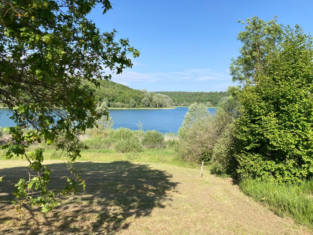
Past the cow crisis, the intrepid walkers are immediately rewarded with stunning views of Lac des Toules, the mountain lake fed by River Dranse. It gets even more exiting when a pair of Alpine Marmots put in an apperance!

Marmot show

You’d think at this point a walk could not get better. But somehow it does.

Snow-melt streams

In the final three or four kilometres the path leaps over the national highway and tunnel which are now the main thoroughfare from Switzerland to Italy. Heart pounding from the climb, adrenalin coursing through the veins, it is all too breathtaking for words (yes, puns intended).

See the Hospice? We are almost there

We walk skipping through melting snow and then a final tumble across ice and we are at the St. Bernard’s Pass Hospice.

Final stumble

The weather at the Pass turns moody. We had been walking for weeks with spring on our back, facing into summer. But suddenly in the last hour the sky turns grey. The mountain lake, crystal clear when we arrived at two in the afternoon, is blanketed in a milky mist the next morning.

Lake St Bernard

There is something dramatic too about a mountain shelter that has stood open for a thousand years, every day of every year. Though much has changed. The mortuary which once housed the remains of medieval travellers who perished on the icy slopes, has long been closed. The monastery, which Bernard of Menthon established, persists but with only a handful of monks.

Retired

Even the famous St Bernard dogs are now just tourist attractions, as sophisticated search and rescue technology has made them redundant.

Car access to St Bernard’s Pass Auberge

St Bernard’s Hospice is now a hostel and a more up-market Auberge, which continues to house travellers, though these days, unlike Bernard’s times, few are starving and many roll up on wheels, via the sealed road.

Still, compared to most pilgrim destinations, Varanasi, Mecca, Rome, the cool emptiness of the refuge that Bernard created seems an awful lot closer to a haven. But then again, Indians have always imagined that their gods live up on the top of the icy mountains (Himalaya means the land of ice). The kings and queens of the epics always head for the hills at the end of the story. So, perhaps, it is just the stories in my head that make St Bernard’s Pass such a perfect place to end a long journey.

A misty end

Out of Champagne

There are Champagne party signs all over Bar-sur-Aube and neighbouring villages.

Champagne Party 12-20 May

But your senses can feel a change on the way. Jacques (henceforth J) with whom a friendship was forged on another long walk, in the south of France (Camino Le Puy) has joined us in Bar-sur-Aube. He says the best champagnes are already behind us.

Made for walking

Even to my untrained pallet, the local wines and bubblies (and I try at least one local product daily, out of a sense of political correctness of course!) from around Bar-sur-Aube feel a little heavier while under my well-worn boots the roads are getting hillier.

They don’t look like much in photos… but…

In inept hands such as mine, the camera fails to record these ups and downs as little more than molehills. But at the end of a day, after 20 kms or so, a 100 meter climb across that final half kilometre, off-track into your night’s accommodation in Saint-Ciergues, definitely feels like a mountain.

At the start of the climb from River La Mouche
To our accommodation at top of the hill in Saint-Ciergues

From Saint-Ciergues down to the Reservoir La Mouche, which supplies drinking water to the surrounding districts and up the next rise, the views are just as breath-taking.

I have seven photos taken from this spot alone🙄

Fortunately, from Saint-Ciergues to the walled city of Langres is a very short walk, but its’ picture-postcard appeal slows down our progress considerably by forcing yours truly to stop every few steps (how else is she going to share all this with you?).

Western gateway to the walled city of Langres

A final heart-stopping climb (mercifully short) brings you to the magnificent city of Langres, with three and a half kilometres of ramparts, opening out with 7 gates, one of them from the first century BC.

Remains of the Roman gates, first century BC

Its’ cathedral roof is like nothing we have ever seen in the hundreds of buildings we have photographed over the years, on our more than one thousand kilometres of pilgrim walks in France.

Unusual tile roofing

French fellow-walker, the extremely erudite J, explains it is a kind of tile roofing common in Bourgogne/Burgundy.

In Langres, we are indeed at the cross-roads. We are still in Champagne but edging into Bourgogne. Over the last few days the vineyards have given way to dairy farms – Fromage Langres is on the menu.

Diderot overlooking the main city square

The city is the birthplace of Diderot, one of the most radical 18th century philosophers, who argued vociferously against the church. His name everywhere, from streets to boulangeries. So J is a little mystified to find that the city has more than usual number of Catholic schools.

Most famously, the city contains the intersection of 12 Roman roads, some leading to that other destination of the modern pilgrim, Santiago de Compostela.

For a week now, roads to Santiago have crossed our path, tormenting me with a nostalgia for that past-perfect hike – reminding me of all the highs, the warmth, the laughter, tempting me to take one wrong turn and head for that other place – somewhere you have been before, a place that in your memory has become a comfort-zone.

But the Jura mountains, the mountains of the Jurassic times, are just ahead of us. You would not have walked 700 kilometres on a new road (well, new to you) to trade in the possibility of the new and the ‘might-be’ for what your mind has retrospectively remade as warm and fuzzy. As every hiker knows (or at least has to believe😊) the challenge of a climb, the surprise at every turn, the adrenaline when you reach the top, is the miracle that makes your water taste just as good as the finest wine!

Last Post on the Path to Nowhere

“Much has been written of travel, far less of the road. Writers have treated the road as a passive means to an end, and honoured it most when it has been an obstacle;” (Edward Thomas, 1913)

<https://books.apple.com/au/book/the-icknield-way/id1426686781>

We walked the South West Coast Path (SWCP) in UK for two months, almost every day, though we set no record for speed or distance. Gale-force winds and squall forced us to abandon the last two kilometres into Portloe (day 36) and again the last five into West Bay (about 2 weeks later). We cut out the walks in and out of the big cities, Plymouth and Torquay – walking by the side of a sealed vehicular road is no fun at all!

So I guess we don’t qualify for the End-to-End certificate which the SWCP Association hands out to those who have walked the ‘whole’ 630 miles, i.e., 1014 kilometres.

Minehead, where the path officially ‘starts’, is not quite the pits. Nor has it anything to do with mines! The name is an English corruption of an old Welsh word Mynydd, meaning mountain. English chews up other languages. We Indians know that well. Under English reign our Kolikata became Calcutta, Dilli became Delhi. We re-wrote our greatest poet’s name: Tagore in place of Thakur. But I don’t think I would have come to Minehead just out of linguistic solidarity. And really, I can’t think of a single good reason to come here. We came only to chase this footpath, several hundred kilometres down, to an entirely forgettable sandy spot just past a nudist beach somewhere in the south of the United Kingdom!

Our nomad’s life — a different bed each night — ended at Lulworth Cove, where two rocky arms reach out from the earth to hold a fragment of the ocean in a circular embrace. There being no accommodation available along our track past this point, and having secured a B&B in Corfe Castle whose lovely owner was willing to ferry us to and from the path, we resolved to do the final 50 or so kilometres at a leisurely pace as four half-day walks.

A few miles along from the hyper-touristy Lulworth Cove Village, above the drowsily quiet Tyneham Bay, Walking Buddy (WB) settled into his now habitual mid-way siesta, and I was absently musing ‘How do I love thee, let me count the ways’ – addressing SWCP of course, NOT WB!

A bird of prey soared into view from the rocks to our left. Bird-watchers had told us to look out for kestrels around here. If we are lucky we might even see a peregrine falcon. Three flaps of the wing took the raptor up into the glare of the mid-afternoon sun and beyond my iPad camera’s reach. Then it stopped dead in the sky. Two helicopters flew past (not unexpected, here the path borders a military training area). The bird held its place undaunted. Then it swooped, rose again almost immediately, floated like a feather, fluttered so fast that its wings disappeared and for a split second it looked like a giant dragon fly. It rested on the wind for what seemed like an impossibly long time. Finally, at lightening speed it darted towards the earth, straight as an arrow and disappeared from sight past the last visible cliff.

In its dramatic war dance, the falcon seemed to sketch a microcosm of our path across the sky: a thin line between the infinite blue to our right and the strange shapes of the land to our left, it rises and falls, sometimes edgy and rapid; elsewhere it arcs gently and then plateaus and slides quietly down a paddock.

From Minehead, the trail drifts west, at first through the ancient woodlands of the Exmoor National Park, on and off the strangely flat-topped ‘hogback’ hills. It flattens on reaching Devon’s muddy river banks, then becomes increasingly rugged as it nears Cornwall. In North Cornwall the track scales some of the highest cliffs of the Atlantic coast and plunges down to the sandy beaches, again and again, determined to test the walker’s will. Here a hundred or 200 metre climb five or six times in a row is all in a day’s walk.

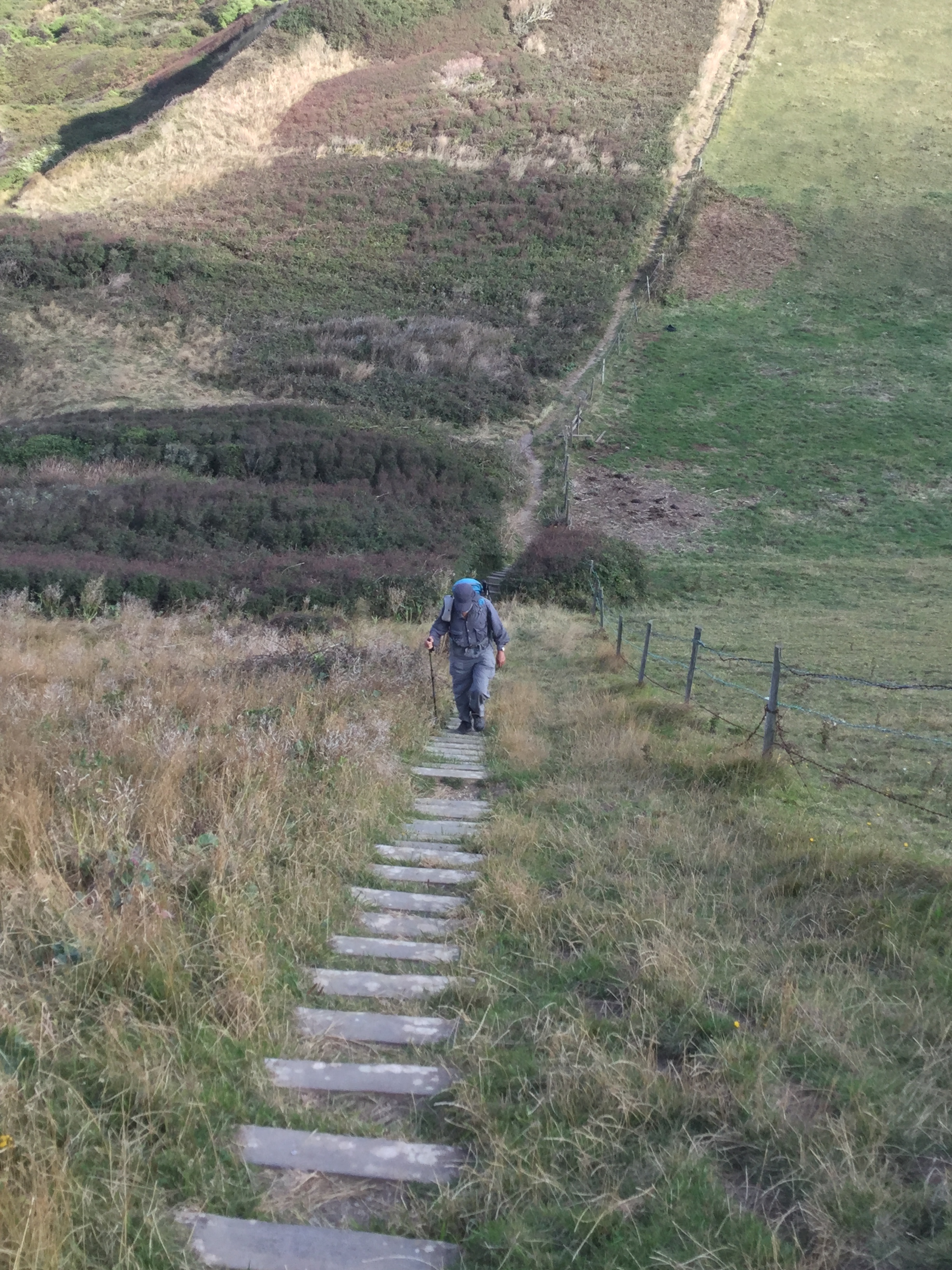
If you have never climbed a hundred meters, then imagine taking the stairs up a 35 storey building, then imagine those steps are 10 inches wide, slippery, broken and there are no hand-rails. Now climb down those same steps and up 45 storeys… there are no lifts and your bedroom for the night is still three sky-scrapers away.

Land’s End is as far west as you can go, so tourists are here in droves. At dusk the inflatable theme-park wallahs roll up their plastic and most visitors leave with their kids and dogs. The sun sinks into the clouds somewhere between the Cornish west and the Canadian east. There is no landmass in between.

From here the path turns south to The Lizard (nothing to do with reptiles, something Cornish to do with heights), the most southerly headland of UK. The nearest car park is nearly a kilometre away, and the only way to get to the cove is on foot. From here the path turns right back, heading east again. The water to our right for the rest of the way is the English Channel.

As the track turns first south and then east, there is a subtle change in the terrain: the south coast is just a little less craggy. The razor-sharp angular slate shapes of the north coast begin to give way to gigantic stone eggs, cakes and mushrooms! The hills get greener and rounder still as the path reaches South Devon. Finally, in Dorset, the dramatic rocks of the Jurassic coast, red, gold and white, rise in straight walls from pebbly beaches below. This land is fragile as it is beautiful.

A hilarious Bengali satire (Ulat Puran, Re-Versed) imagines what might have been had Indians colonised Britain. I’m pretty sure that under Indian rule, the South West Coast Path would have been filled with Hindu pilgrims. I can see temples and deities rising from the deep. On the soft red sandstone above a beach in South Devon, someone must have carved the profile of a giant Jagannath, the arm-less Lord of the Universe. The Durdle Door (already a tourist Mecca) is undoubtedly the head of the elephant god making waves by sucking up and blowing out the sea in his trunk.

About five kilometres before the little blue marker where the SWCP formally ends, a less arcane signifier: white sandstone palms rise toward the sky in gratitude or perhaps a salutation.

Soon the path disappears into a long white sandy beach, like the one near my house on a far-away coast in another hemisphere. I kick off my boots, shrug off the hike and splash through the lapping water for the home stretch.

Starting and ending unceremoniously, as it does, the South West Coast Path underscores perhaps, that a road is more than any or even the sum of all the places it takes you to; that destinations might be less important than the means and methods we use to get there; that in life as on a hike, the journey is all that matters, the end is neither here nor there.

South West Coast Path: Indian Take-Away 1

The South West Coast Path starts on the northern ridges of Exmoor National Park, follows the coastline, past the park, westward to Land’s End. Then it the turns right around with the coast and moves east along England’s southern seas, through Cornwall, Devon and Dorset. When the sky is absolutely clear (which is rare here even in early summer) you can look right across the Bristol Channel from the north of Devon to the southern coast of Wales, 30 miles away. We’ll be doing 500 to a thousand metre climbs up and down most days.

On day three, little west of Lynton, we had stopped to catch our breath and admire the vast expanse of the sea when a local greeted us. We were very lucky to get a day so bright he said. ‘I walk ‘ere most everyday. First time for me to see Wales’. ‘Whales? Where?’ says my walking buddy (WB) excitedly. He is having a little trouble with local lingo. ‘W(h)ales? NOO, they doon cum doon soo far in’, says the confused man. By now WB has tuned in. ‘O, yes, of course, Wales’, he recovers. The following day, though, we do see seals swimming around rocks some hundred meters below us. ‘Well he could have seen whales’ WB insists. Nope. If there was any chance of whale sightings the tourist brochures would have alerted us.

Mostly when we meet other walkers (dozens on some days) we gush about the wonders of the coastal cliffs plunging into the sea, its rugged beauty and the giddying sensation of walking on the edge when the land falls away from the path, sudden and precipitous. At other times, the path is barely the width of your hiking boots and overgrown. If the light is poor, you see little beyond the next step. But the micro scenery surrounding each human step is teeming with life. Tiny caramel coloured mushrooms, or massive toadstools larger than the width of the path, emerald coloured beetles, tiny wild flowers and holes of different sizes all over the ground, hinting at the network of burrows under the silty soil. Elsewhere, when the path is wide and gentle through the meadow, the hills are rounded, the clouds billowy, cattle and sheep grazing, you realise that this land and sea, in fact, have long been domesticated. These dells and slopes are planted with the white daisies and pinky-purple bell heather flowers from the English fairy tale books of my childhood. You can believe in pixies in these wild gardens.

Exmoor National Park is criss-crossed with walking trails. More famous authors than you can count have lived or visited somewhere around here at some time and written about its pubs and paths and combes and coves. Every bit of this coast has been well-trodden, mapped and inscribed. Some of the realities of this landscape have followed fiction: the Tarka trail has been laid along the life cycle of an otter called Tarka , from a 1920s children’s novel by naturalist and author Henry Williamson. The Tarka Trail, merges with the South West Coast Path as the latter moves inland down River Taw. We will walk in the fictional Otter’s footsteps and waterways for 3 days.

And every Dick and his dog is walking here – really they are. Day hike with anywhere between one to four dogs seems to be the de rigueur in this part of England. Most people on the trail can tell you every turn on a twenty kilometre radius from wherever you run into them. But few have ventured too much further. There is a small handful who are doing a few days at a time and plan to do the whole coast path over several years. So far, we have met just one walker who is trying, like us, to hike the whole thousand kilometre path in one go.

Near the coastal holiday villages (and we get to one of these for most nights) we encounter keen walkers, daily ramblers, families of picnickers, and groups of friends, young and old, all walking. But even here, the idea of walking right around the top and bottom of Devon, Cornwall and Dorset, tends to produce a ‘Wow, you are crazy’ or some variant thereof, although a small number do confess to harbouring a dream of some day walking the whole trail.

Still, despite the people and the books and the organised road signs, for the post colonial Indian (eg. Me), used to London and other big cities of England, this feels like a road less travelled. I am used to being the only Indian on long walks in Europe. But this trail and its surrounds seem determinedly mono-cultural: white, English. So far on the walk we have met just half-an-Indian – yes just half, mum English, dad Indian and absent. And there is a Sri Lankan selling curry from a van on a beautifully sheltered beach in the very popular surfing village, Woolacombe.

I can’t help wondering: has any Indian walked the South West Coast Path? You have seen the Empire Strikes Back (movie 1980). You may even have read the Empire Writes Back (book about post-colonial literature, 2000-ish). Now for the Empire Walks Back?