The VF track in Switzerland has an awesome reputation as both beautiful and challenging, particularly once it starts climbing into the mountains towards the pass that for millenia has taken travellers into Italy.

But the tiny 14 kilometres between Martigny and Sembrancher has a more wicked reputation, as the scariest section of the entire 2000 km road from Canterbury to Rome.
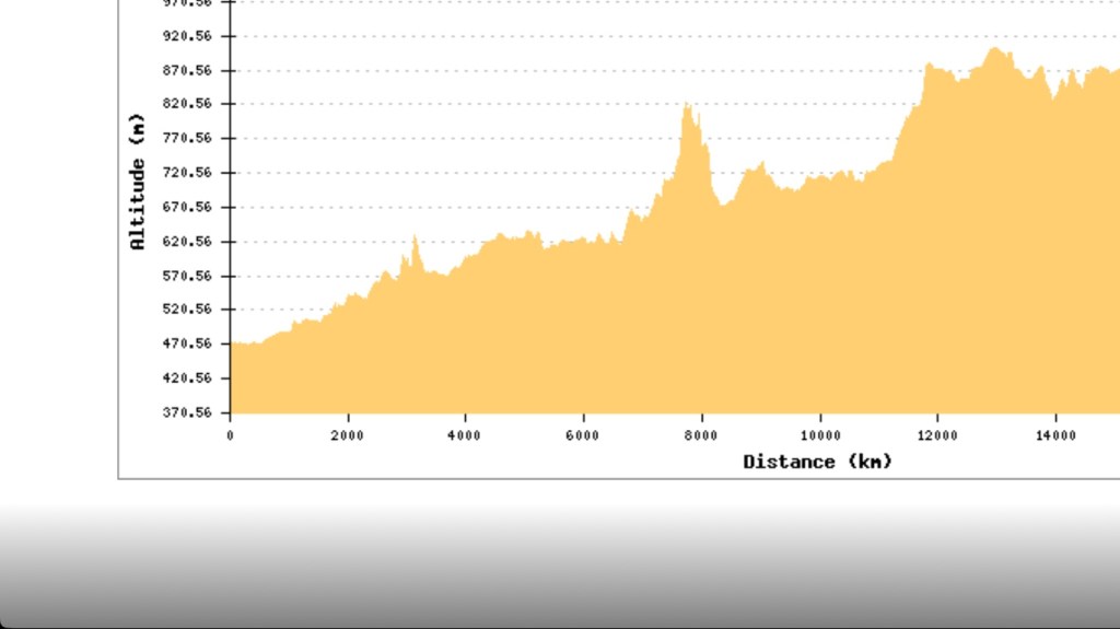
Even the elevation profile on the official VF app looks wicked, as if it were giving you the finger! For the record, that finger turned out to be about 125 metres up and 100 down all in the space of less than a kilometre! Imagine climbing on step ladders angled up the face of a 28 storey building and down the other side the same way but the ladders are all rickety and higgledy-piggledy! Get the picture?
Some experienced long-distance walkers will even advise that, if in a hurry, you should opt for a quick and safe train trip into Sembrancher, before continuing the walk further up-hill to Orsieres and beyond. (In my vew it is never good to be in a hurry on a walk.)
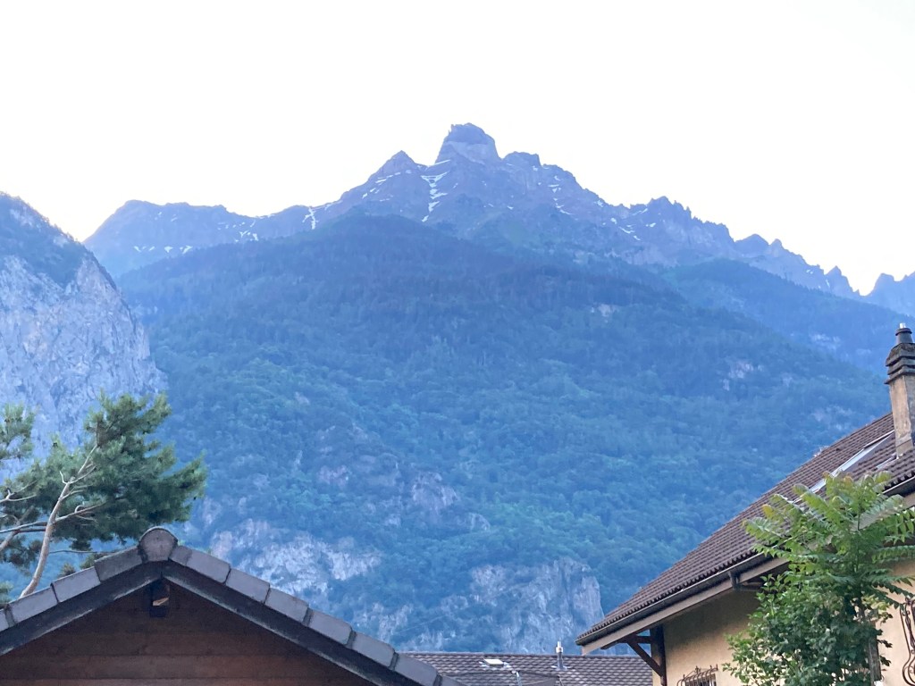
The Swiss Alps do look a bit edgy from most angles, whether it is the serrated peaks in the distance or closer at hand when they rise like something Obelix might have hurled at Roman soldiers. (If you do not know who Obelix is, drop everything and find some Asterix comics)

So somewhere on a walk that crosses the Alps you would expect something a little edgy, a little sharp – right? On the other hand, WB really does not like heights, so I have been quiet on the matter and he, shall we say, is facing his fears bravely.

Not that you have many options once you have set off on this section.
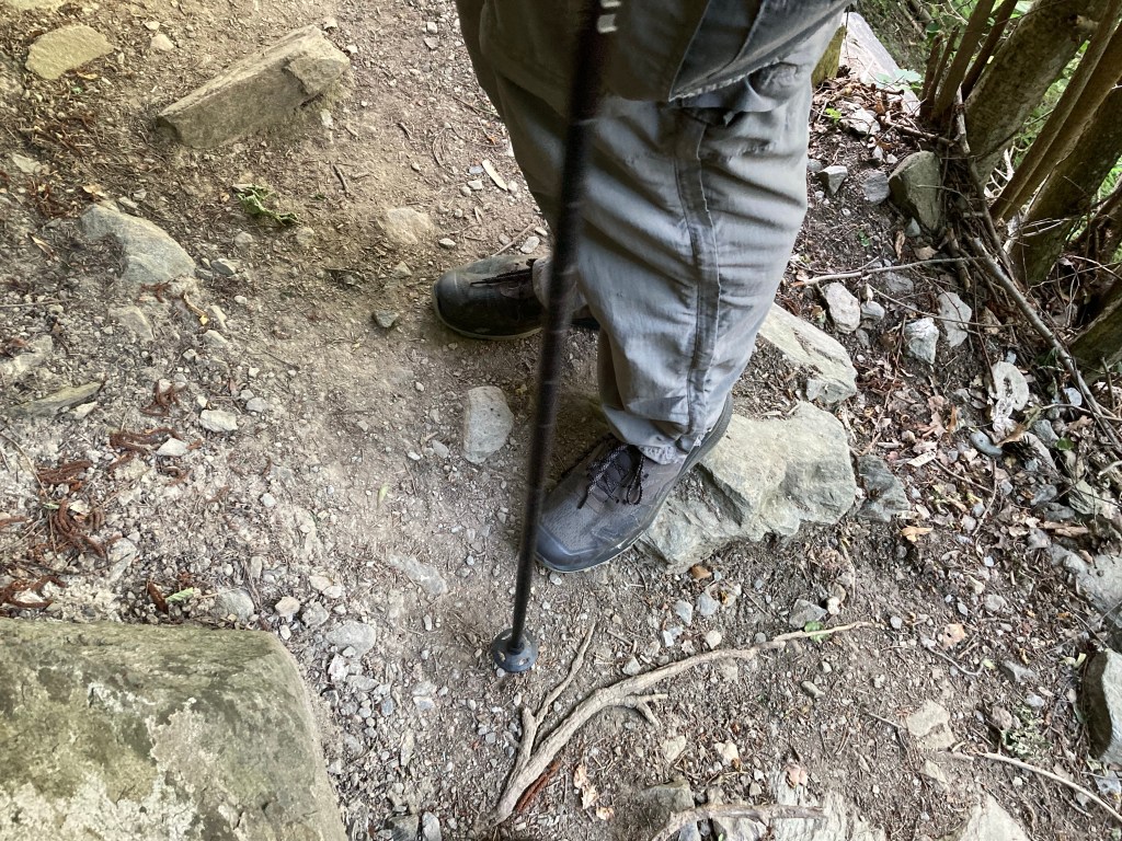
Most of the track is a narrow escarpment, so slanted that your two feet are almost never on the same plain. The gradient is such that your ankle is always at some weird angle and more often than not, the top-soil moves with your feet. So you slither and slide rather than stride. This is not so much a constructed track as a path yielded by the mountain in response to the footfall of humans (and animals), perhaps over a very long time.

But just when you think this really is a bit dangerous two young trail runners ‘bonne journee’ past at a speed that would put a mountain goat to shame. Reassuring, really.
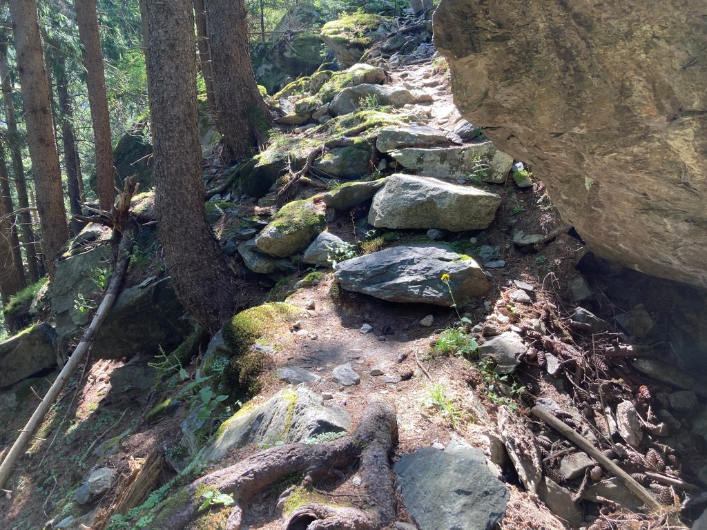
There are signs of rock falls, recent and old, all along the way. About 5 kilometres before Sembrancher, we seem to lose the track completely – it simply runs into a pile of rubble and disappears! And all day the VF apps have been undependable as connectivity is minimal in the crags of the hills where we are walking.

Having nowhere else to go, we crawl slowly up the rubble. About 30 metres up, phew…WB spots a small cairn – something which walkers around the world read as a trail marker. A hiker (or hikers) ahead left a mark for us to follow. We add a couple of stones to the pile making it a little more visible to those who might come later, then tumble gratefully back onto the trail.
An hour earlier, when the track had (yet again) ducked out of sight and I was shaking my futile fists at the app, a Spanish man came down the hill. He stopped to chat a bit about doing the Camino, and confidently pointed to the correct path. Then overtook me rapidly and disappeared.

Really, track angels seemed to be everywhere, whenever a little help was needed. Where the usual Swiss yellow marker was a bit thin on the ground, someone had thoughtfully scribbled an additional ‘GR145’, the sign we followed all the way through France.

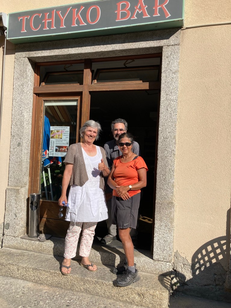
In Bouvernier (a village in between two forest tracks) the bar proprietor insisted on giving us free drinks because she thought we were pilgrims and all my attempts to explain that we were just walkers failed to sway her. Minutes later, we were wondering how to get around a road-block when a young man emerged to provide clear directions in perfect English!
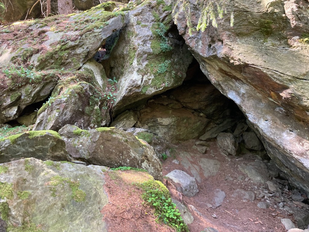
So, does the Martigny-Sembrancher trail deserve its scary reputation? Perhaps it does. But it also takes you through the most beautiful surroundings you can imagine. River Dranse plays hide-and-seek all day – sometimes just a soothing sound, sometimes a visible torrent. Tiny caves and hollows blow cool breath over your legs – like the air-conditioned cool that spills out of big shopping arcades.
Any time the impish trail allows you to take your eyes off your feet, the view near and far is magical, wowing all your senses.

Perhaps you wouldn’t want to walk this trail in rain and snow, or on a bad-knee day. But we set out on a mild summer dawn. Most of the walk was under a canopy of trees. You don’t feel the danger as the adrenalin carries you along the slippery or rocky or gravelly patches along a path that is a crazy erratic roller-coaster, soaring and and diving, tumbling and rising with a wicked glee.
You are on alert – because you have to be. And all your senses are engaged right here, right now, both because the surroundings are enchanting and, yes, also because walking on the edge of a hill on unstable ground, is just a tiny little bit risky. Enchantment and danger: surely, that is the very definition of a good time😉

Your final sentence! Your final paragraph. Perfect!
Jim
Beautiful photos! And reference to Angels of the Way!
>
LikeLike
You are a very generous reader. Thank you.
LikeLike